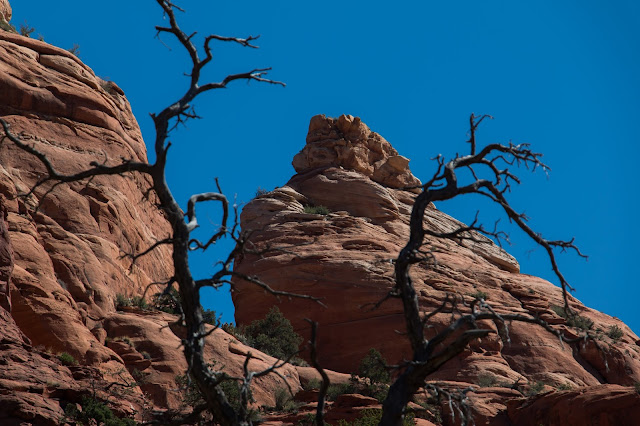
The northern edge of Sedona is clearly defined by the cliffs, buttes and canyons at the edge of the Mogollon rim which is approximately 2000 feet high. It is named for an early Spanish governor. Nothing scientific or geologic. It is a fractal shape while straight if measured in large units, it is much longer as you navigate every nook and cranny on foot.
There is a network of well traveled not too crazy trails stretching across it and occasionally into the canyons and yesterday I started at a trailhead near the other side of town and hiked across. It was a bit of a test for my knee - a chance for me to do some great hiking safely. Note: am trying a couple of the photos at full size - they may take a bit to load or overwhelm your browser - let me know....
But first - our feeder attracts juncos and finches and yesterday this Juvenile Goshawk - a rare bird here and new for us!
The road ends here
Something to keep in mind
A substantial tree growing in difficult surroundings - see below
Details
The trail heading towards chimney rock which is behind the house where we are staying.


No comments:
Post a Comment
Note: Only a member of this blog may post a comment.