We are leaving Sedona on Thursday - have to do some cleaning and chores (recycling etc) - and things like dismantling computer setup and pack our stuff so it all fits in the car.
This was going to be done mostly on Wed, but we will tackle some of it today as the weather has turned - and call me a wimp or spoiled, - hiking in sleet and winds gusting to 40 is beyond my comfort level. Thus this is probably the last post for a bit especially given the vagaries of motel wifi. Though I will try as we are going to spend a few days in Utah and Colorado before launching across Kansas...
Yesterday we touched another traihead we have not done much hiking out of - probably the last major one, but it goes to show how much is available here.
And then there was this! Mountain unicycling. Mountain biking is one thing, but doing it on one wheel - takes it up an order of magnitude. It looks like fun, but Shelley is dubious about getting Harley to ride one too.
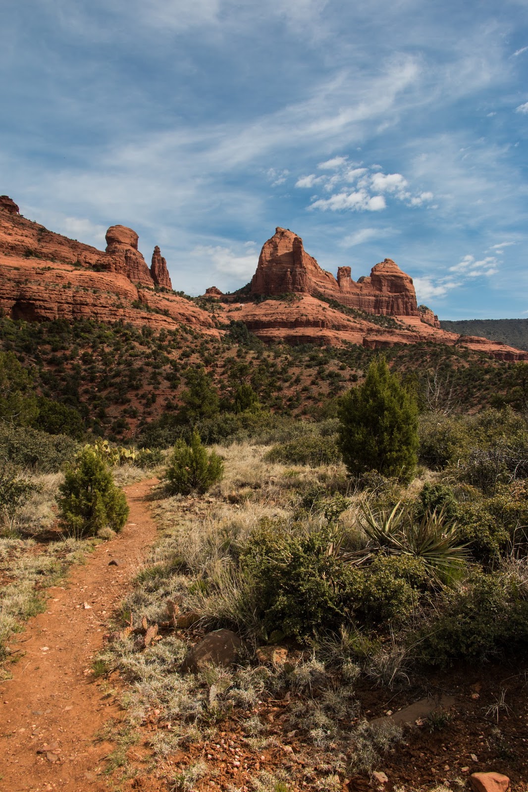
Last year we discovered this local trail, it's not on most maps has no name, no signpost - and it's really nice climbing above the houses and then very quickly becoming something of a wilderness.
It has a bunch of branches, and one we like is a mile and a half long ending at the very top of a ridge and is lightly traveled.
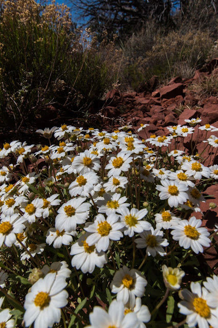
We took it again today and discovered a bush has come into bloom and it's just about everywhere - It appears like cedar in foliage but wild rose like in bloom, and it's fragrant - spring, coming soon to a plant near you.
The west branch of Oak Creek was a hike I'd been intending to do, but somehow there were always closer hikes. Yesterday we went up the canyon to the trailhead and discovered why it is so popular they can charge for parking above and beyond the pass we have.
It's 3.5 miles up a feeder for Oak Creek through an impressive canyon. Because we started a few miles up Oak creek there was less red rock and more limestone than we were used to. The trail crosses the small stream 13 times and it is much fun watching people navigate the stepping stones and logs placed to assist crossing. It is a very narrow and high canyon - not sure the photos give an accurate feeling for that.
Today was a day of finding things, hidden to some degree, but never the less waiting to be found.
The area was Bear mountain, a trail I've done parts of before, but today I wanted to explore some of the side trails; paths I passed and wondered, "Where does that go?"
The first part was a small canyon a half mile south of the trail which is over looked at one point or another, and because of the remoteness I stayed off of serious slopes, but followed a faint trail which led eventually to a cliff face where under an overhang - there were some pictographs. I was by no means the first and though the rocks had been defaced in modern times they did not touch the older pictographs. There were also some anomalous rocks there, chert probably, laid out on a rock, so the site has been picked over and showed no signs of a dwelling, but my on the fly archaeological skills are suspect.
The canyon
The overhang
And then, Oh boy!
Chert?
Not sure - on a loose rock on the floor have seen similar in other sites if it is very old.
Then making my way around the point and across the slope I ended up on the Bear mountain trail where I ascended until I noticed a marker of sorts.
Since this was the day to follow such signs, I took another lesser trail across the slope to a rocky tower that was perhaps 20 feet across.
 There were interesting shapes and as I got closer I realized there was a point to this side trail, sometimes they just lead to a private place for lunch or a pee. I am not sure exactly what forces have been involved in the sculpture, wind to some extent as there was a strong breeze coming out from a gap in the rocks.
It was not very deep, maybe ten feet, and dimly lit. There was a turn to the left and an opening at what appeared to be the top of a cliff.
Looking inside
The back "door" at the top of a cliff, very much an emergency exit only.


